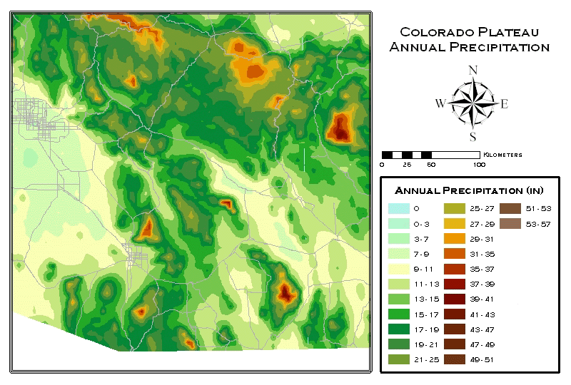
Interactive Colorado Plateau
Precipitation Map - SE Arizona
These maps were created from PRISM precipitation data gathered by the Spatial Climate Analysis Service using annual precipitation values averaged from 1960-1990. You can zoom in on a particular area by clicking on the map. These images are very large and may take a long time to download over a modem.
 Download
Entire Colorado Plateau Annual Precipitation GIS Map - PDF (14.5 MB) Download
Entire Colorado Plateau Annual Precipitation GIS Map - PDF (14.5 MB)
The Colorado Plateau's range extends across 4 States:
|


